Survey without the wait. Or the invoice.
GNSS-driven, fully embedded survey services from a self-perform civil partner. Continuous grade verification, real-time as-builts, and $500K+ in average survey cost savings — without coordinating a separate crew.
You’re paying too much for survey.
Every trade depends on accurate survey. But traditional stake-and-stringline methods are slow, error-prone — and extremely expensive. Alpine embeds GNSS-controlled survey into every scope, delivering satellite-grade precision while saving hundreds of thousands of dollars in total project costs.
Typical Industry
Alpine’s Approach
Embedded survey = $500K average total cost savings
Cutting-edge survey is built into every Alpine project.
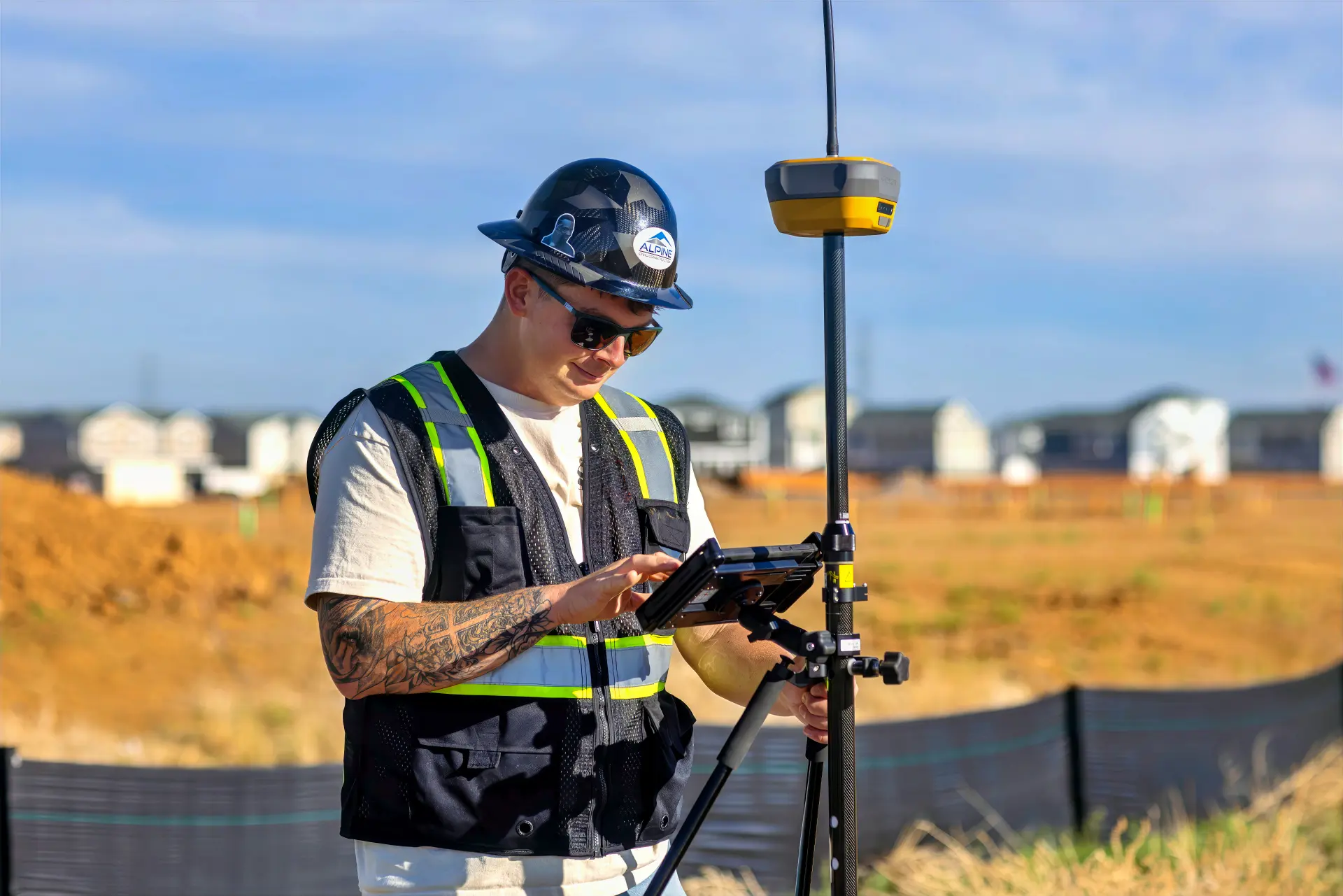
Our veteran field leaders run cutting-edge Topcon GNSS technology within a fully integrated, self-perform operation. Survey isn’t an expensive, third-party burden; it’s a continuous function that drives every aspect of our work.

Alpine's Survey Services
Our experienced crews bring decades of cross-scope experience and deep GNSS survey expertise to every phase of your project.
Site Control & Layout
Establishing the verified control framework every Alpine machine, crew, and trade builds from.
Digital Model Management
Loading, maintaining, and updating the 3D models that drive GPS machine control across the entire Alpine fleet.
Continuous Grade Verification
Rover-equipped grade checkers walking the site as work proceeds, catching and correcting deviations in real time.
Real-Time As-Built Documentation
GPS-generated as-built data captured continuously during construction.
Pre-Construction Plan QA
Reviewing engineering plans for cross-trade conflicts before crews are deployed.
GNSS Topographic Surveys
Pre-construction topographic surveys feeding directly into the same model that will drive construction.
As-Built & Record Surveys
Final documentation packages prepared for municipal acceptance, plat recording, and infrastructure transfer.
Why developers and GCs choose Alpine for survey.
Survey shouldn’t slow down your work, or run up your budget. Alpine’s embedded survey services deliver satellite-grade precision, faster milestones, and massive cost savings on every project.
Execution
Reliable, cutting-edge precision.
Every machine in Alpine’s fleet is guided by GNSS survey technology, ensuring satellite-grade precision while eliminating errors that result from handoffs between trades. When one shared digital model runs every scope, there’s no room for the inconsistencies that can turn into rework, disputes, and inspection failures.
Schedule
Survey never holds up your job site.
When survey is embedded in every trade, the job just moves. No scheduling around a third-party crew. No stopping work to wait on a verification. No weeks-long lag between project completion and as-built submission. From first cut to final acceptance, Alpine hits every milestone sooner.
Cost Control
Self-perform survey saves $500K on average.
By eliminating reliance on third-party surveyors, Alpine saves clients an average of $500K — up to $1M on large projects. And because in-house survey allows us to compress your schedule, those cost savings can compound. The result? A substantially lower total project cost compared to bids from fragmented, traditional alternatives.

"Early on, a number of our customers were skeptical of our reliance on GPS. But, after coming behind us with their own surveyors and seeing how accurate our work is, they have become believers in what we can do."

Seth Aberle
Machine Control Specialist, Alpine Civil Construction
Our work speaks for itself.
Our broad experience makes us a trusted long-term partner for both public-sector agencies and private developers.


Not a survey company.
A true cross-scope solution.
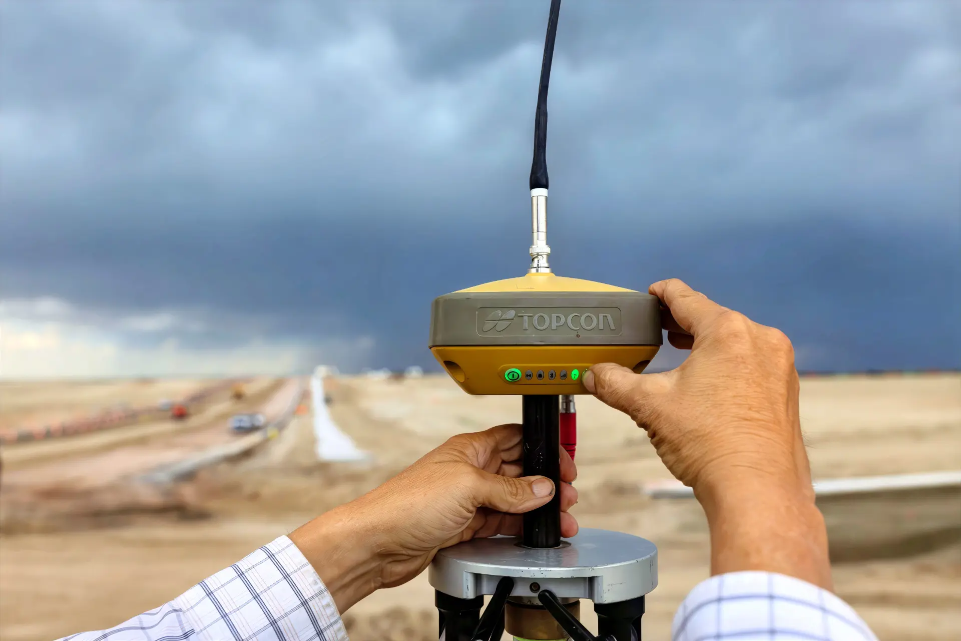
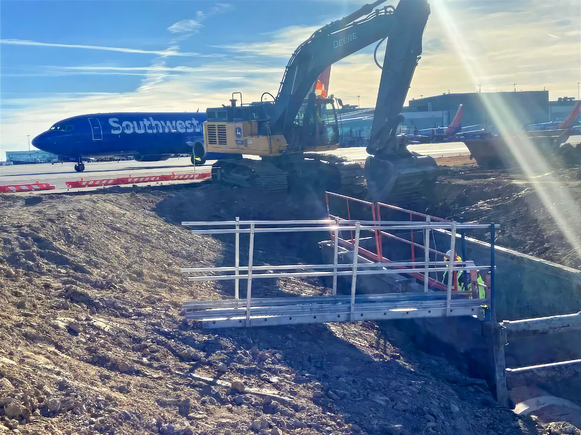
Most companies contract third-party surveyors. Alpine embeds it in every scope. GNSS-enabled Topcon technology drives every machine, verifies every grade, and produces the as-built when the work is done. No gaps between trades — just one seamless project, from the first pass to the final inspection.
Built on trust, proven by results.
From large-scale developers and general contractors to municipalities and public agencies, Alpine works with organizations looking for a civil partner to deliver repeatable results over the long term.












Industries we serve
Municipalities
Highway & Road
Airports
Commercial
Residential
Save up to $1M in survey costs.
Get in touch.
By submitting, I agree to receive future communications from Alpine and I have read and acknowledge Alpine’s privacy policy. This site is protected by reCAPTCHA.
Our guiding principle is simple:
“Treat others as you want to be treated.”
Your success is our mission — whether you’re a client, a collaborator, or the next person to join our crew.
Careers at Alpine